Description
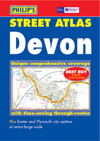
This colour atlas of Devon is based on Ordnance Survey data and shows every street in Devon. The mapping is at 3.5 inches to a mile and is complete with postcode boundaries. There is a route-planning map at the front of the atlas. The main maps show every named road, street and lane with through-routes highlighted. School locations are marked and emergency services, hospitals, police stations, car parks and rail and bus station locations are all featured. There is a comprehensive index of street names and postcodes including schools, industrial estates, hospitals and sports centres highlighted in red.