Description
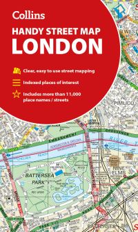
Scale: 1:17,500 (3.6 inches to 1 mile).A London map to cover all eventualities. It is clear and easy to read but with a lot of detail. It has a large area of coverage but is presented in a handy compact format.MAIN FEATURESThis attractive map has an extensive area of coverage and displays a wealth of detail all for only £2.99 a copy. It is fully indexed and has the London underground map conveniently located on the back cover.INCLUDES? Fully classified roads.? Colour-coded buildings.? Postal districts and boundaries clearly depicted.? Full indexes to street names, place names and places of interest.WHO THE MAP IS OF INTEREST TOThis is a general purpose map, ideal for tourists and residents.AREA OF COVERAGEExtends from Hampstead in the north to Clapham in the south and from Hammersmith in the west to Greenwich in the east.